Path down to the lakes at Sence Valley Forest Park
Introduction
The photograph on this page of Path down to the lakes at Sence Valley Forest Park by Trevor Rickard as part of the Geograph project.
The Geograph project started in 2005 with the aim of publishing, organising and preserving representative images for every square kilometre of Great Britain, Ireland and the Isle of Man.

There are currently over 7.5m images from over 14,400 individuals and you can help contribute to the project by visiting https://www.geograph.org.uk
Path down to the lakes at Sence Valley Forest Park
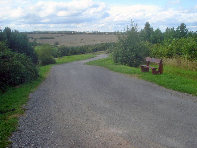
Image: © Trevor Rickard Taken: 15 Aug 2009
Heading north to the hairpin which leads left to the lakes at the bottom of the valley. Now part of the National Forest, it is hard to believe that this area was part of the open cast mine, which between 1982 and 1996 produced eight million tons of coal for nearby power stations. http://www.forestry.gov.uk/website/recreation.nsf/LUWebDocsByKey/EnglandDerbyshireTheNationalForestSenceValley
Images are licensed for reuse under creativecommons.org/licenses/by-sa/2.0
Image Location
Latitude
52.698788
Longitude
-1.405978