Road junction in Blanchland
Introduction
The photograph on this page of Road junction in Blanchland by nick macneill as part of the Geograph project.
The Geograph project started in 2005 with the aim of publishing, organising and preserving representative images for every square kilometre of Great Britain, Ireland and the Isle of Man.

There are currently over 7.5m images from over 14,400 individuals and you can help contribute to the project by visiting https://www.geograph.org.uk
Road junction in Blanchland
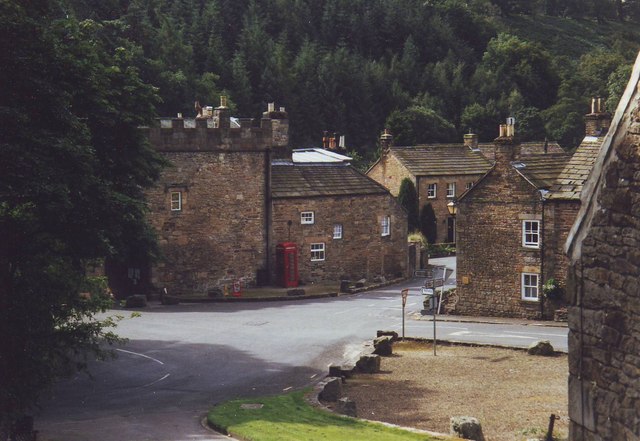
Image: © nick macneill Taken: 19 Aug 2002
An array of roads leading in all directions, some towards Consett and Bishop Auckland, others north towards Hadrian's Wall.
Images are licensed for reuse under creativecommons.org/licenses/by-sa/2.0
Image Location
Latitude
54.848213
Longitude
-2.054788