Vickers Road, Firth Park
Introduction
The photograph on this page of Vickers Road, Firth Park by David Lally as part of the Geograph project.
The Geograph project started in 2005 with the aim of publishing, organising and preserving representative images for every square kilometre of Great Britain, Ireland and the Isle of Man.

There are currently over 7.5m images from over 14,400 individuals and you can help contribute to the project by visiting https://www.geograph.org.uk
Vickers Road, Firth Park
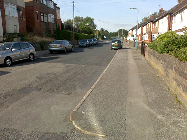
Image: © David Lally Taken: 11 Sep 2009
This northern end of the road consists of small post-war semis. The road is about half-way up a steep valley so that the houses on the left side have first floors about level with the eves of the houses on the right.
Images are licensed for reuse under creativecommons.org/licenses/by-sa/2.0
Image Location
Latitude
53.414708
Longitude
-1.449239