Open Space
Introduction
The photograph on this page of Open Space by Dara Jasumani as part of the Geograph project.
The Geograph project started in 2005 with the aim of publishing, organising and preserving representative images for every square kilometre of Great Britain, Ireland and the Isle of Man.

There are currently over 7.5m images from over 14,400 individuals and you can help contribute to the project by visiting https://www.geograph.org.uk
Open Space
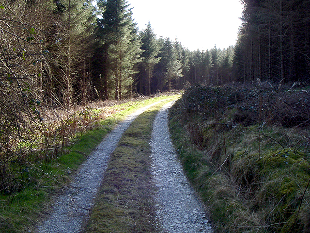
Image: © Dara Jasumani Taken: 9 Apr 2006
This is shown as a large clearing on the map. And it's not really a recent plantation is it.
Images are licensed for reuse under creativecommons.org/licenses/by-sa/2.0
Image Location
Latitude
51.967349
Longitude
-4.170305