Children's Play Area - Roden
Introduction
The photograph on this page of Children's Play Area - Roden by Tim Curtis as part of the Geograph project.
The Geograph project started in 2005 with the aim of publishing, organising and preserving representative images for every square kilometre of Great Britain, Ireland and the Isle of Man.

There are currently over 7.5m images from over 14,400 individuals and you can help contribute to the project by visiting https://www.geograph.org.uk
Children's Play Area - Roden
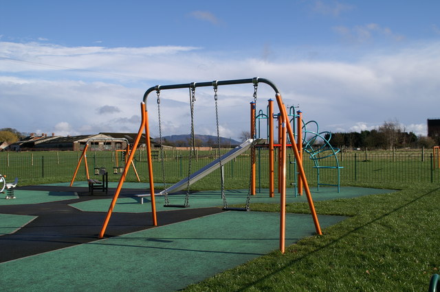
Image: © Tim Curtis Taken: 8 Apr 2006
Children's play area in between Marlbrook Way and the main road through Roden. The Wrekin can be seen in the distance
Images are licensed for reuse under creativecommons.org/licenses/by-sa/2.0
Image Location


Leaflet Map data © OpenStreetMap
Latitude
52.746232
Longitude
-2.632505