The A487 near Llanwnda
Introduction
The photograph on this page of The A487 near Llanwnda by Jeff Buck as part of the Geograph project.
The Geograph project started in 2005 with the aim of publishing, organising and preserving representative images for every square kilometre of Great Britain, Ireland and the Isle of Man.

There are currently over 7.5m images from over 14,400 individuals and you can help contribute to the project by visiting https://www.geograph.org.uk
The A487 near Llanwnda
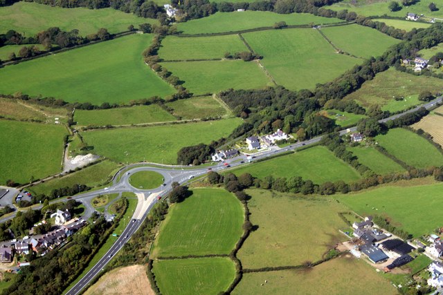
Image: © Jeff Buck Taken: 15 Sep 2009
Aerial shot of the roundabout at Ty-hen near Llanwnda which connects the A487 with the A499. A ground view Image]
Images are licensed for reuse under creativecommons.org/licenses/by-sa/2.0
Image Location


Leaflet Map data © OpenStreetMap
Latitude
53.095138
Longitude
-4.281925