The Normacot milepost - detail
Introduction
The photograph on this page of The Normacot milepost - detail by Richard Law as part of the Geograph project.
The Geograph project started in 2005 with the aim of publishing, organising and preserving representative images for every square kilometre of Great Britain, Ireland and the Isle of Man.

There are currently over 7.5m images from over 14,400 individuals and you can help contribute to the project by visiting https://www.geograph.org.uk
The Normacot milepost - detail
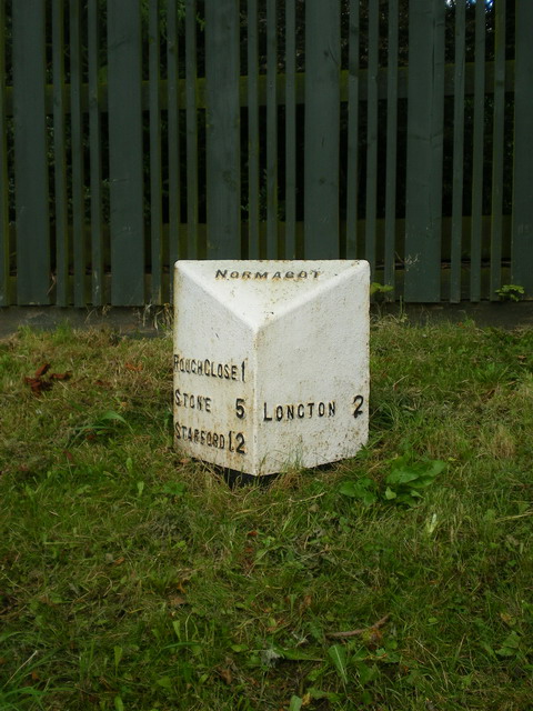
Image: © Richard Law Taken: 15 Sep 2009
As is the case with Image, this calls itself a Normacot milepost, despite being in Meir Heath. How this comes about on two different mileposts is a mystery to me.
Images are licensed for reuse under creativecommons.org/licenses/by-sa/2.0
Image Location
Latitude
52.96559
Longitude
-2.111176