Steep Hill South From Menithwood
Introduction
The photograph on this page of Steep Hill South From Menithwood by Peter Whatley as part of the Geograph project.
The Geograph project started in 2005 with the aim of publishing, organising and preserving representative images for every square kilometre of Great Britain, Ireland and the Isle of Man.

There are currently over 7.5m images from over 14,400 individuals and you can help contribute to the project by visiting https://www.geograph.org.uk
Steep Hill South From Menithwood
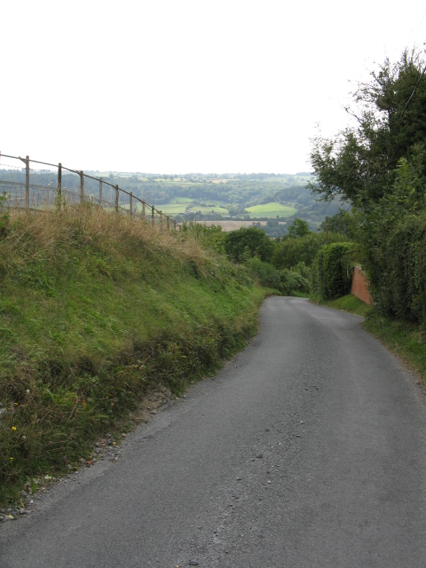
Image: © Peter Whatley Taken: 15 Sep 2009
The main lane from Menithwood plummets into the Teme Valley.
Images are licensed for reuse under creativecommons.org/licenses/by-sa/2.0
Image Location
Latitude
52.316156
Longitude
-2.431538