Pennine Way, north out of Dufton
Introduction
The photograph on this page of Pennine Way, north out of Dufton by Chris Heaton as part of the Geograph project.
The Geograph project started in 2005 with the aim of publishing, organising and preserving representative images for every square kilometre of Great Britain, Ireland and the Isle of Man.

There are currently over 7.5m images from over 14,400 individuals and you can help contribute to the project by visiting https://www.geograph.org.uk
Pennine Way, north out of Dufton
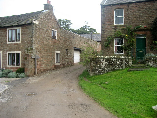
Image: © Chris Heaton Taken: 7 Sep 2009
Dufton is a major stopping point on the Pennine Way. The way north is shown leaving the village towards the major obstacle of Cross Fell, before the descent towards Tynedale.
Images are licensed for reuse under creativecommons.org/licenses/by-sa/2.0
Image Location
Latitude
54.619733
Longitude
-2.480348