Stour Valley Walk near Forest Farm
Introduction
The photograph on this page of Stour Valley Walk near Forest Farm by David Anstiss as part of the Geograph project.
The Geograph project started in 2005 with the aim of publishing, organising and preserving representative images for every square kilometre of Great Britain, Ireland and the Isle of Man.

There are currently over 7.5m images from over 14,400 individuals and you can help contribute to the project by visiting https://www.geograph.org.uk
Stour Valley Walk near Forest Farm
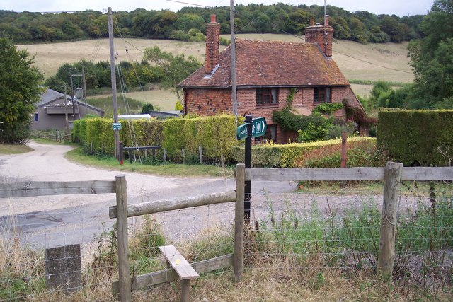
Image: © David Anstiss Taken: 13 Sep 2009
The long distance path heads from Blue Downs, onto Pope Street and then turns right towards Stump Shawe (woodland in background).
Images are licensed for reuse under creativecommons.org/licenses/by-sa/2.0
Image Location
Latitude
51.221693
Longitude
0.985732