Beam Ends
Introduction
The photograph on this page of Beam Ends by Simon Carey as part of the Geograph project.
The Geograph project started in 2005 with the aim of publishing, organising and preserving representative images for every square kilometre of Great Britain, Ireland and the Isle of Man.

There are currently over 7.5m images from over 14,400 individuals and you can help contribute to the project by visiting https://www.geograph.org.uk
Beam Ends
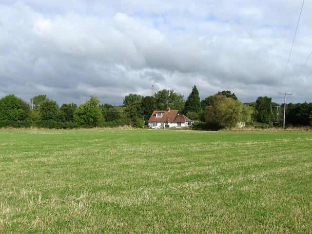
Image: © Simon Carey Taken: 13 Sep 2009
The name of the house at the end of Ley Field. It's just been sold along with the six acres that comes with it. The hedge on the left marks the course of Streat Lane.
Images are licensed for reuse under creativecommons.org/licenses/by-sa/2.0
Image Location
Latitude
50.931048
Longitude
-0.078298