Bridleway near Beeson Pool
Introduction
The photograph on this page of Bridleway near Beeson Pool by Derek Harper as part of the Geograph project.
The Geograph project started in 2005 with the aim of publishing, organising and preserving representative images for every square kilometre of Great Britain, Ireland and the Isle of Man.

There are currently over 7.5m images from over 14,400 individuals and you can help contribute to the project by visiting https://www.geograph.org.uk
Bridleway near Beeson Pool
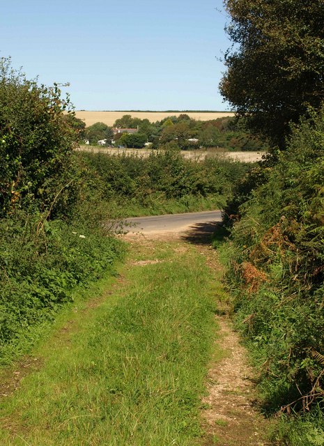
Image: © Derek Harper Taken: 10 Sep 2009
A reverse view of Image, taken a few metres up Stokenham Bridleway 31, which joins the lane to Stokenham 80 metres south of Beeson Pool.
Images are licensed for reuse under creativecommons.org/licenses/by-sa/2.0
Image Location
Latitude
50.257675
Longitude
-3.677472