Stubble near Winterborne Kingston
Introduction
The photograph on this page of Stubble near Winterborne Kingston by Maigheach-gheal as part of the Geograph project.
The Geograph project started in 2005 with the aim of publishing, organising and preserving representative images for every square kilometre of Great Britain, Ireland and the Isle of Man.

There are currently over 7.5m images from over 14,400 individuals and you can help contribute to the project by visiting https://www.geograph.org.uk
Stubble near Winterborne Kingston
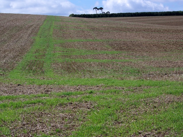
Image: © Maigheach-gheal Taken: 13 Sep 2009
The stubble fields on West Down will soon be ploughed in ready for the next crop.
Images are licensed for reuse under creativecommons.org/licenses/by-sa/2.0
Image Location
Latitude
50.778324
Longitude
-2.212698