Halted development
Introduction
The photograph on this page of Halted development by Richard Webb as part of the Geograph project.
The Geograph project started in 2005 with the aim of publishing, organising and preserving representative images for every square kilometre of Great Britain, Ireland and the Isle of Man.

There are currently over 7.5m images from over 14,400 individuals and you can help contribute to the project by visiting https://www.geograph.org.uk
Halted development
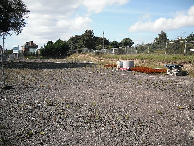
Image: © Richard Webb Taken: 7 Sep 2009
Nothing much seems to have happened lately on this building site. The plan appears to be building flats here, but it has probably fallen foul of the property bubble bursting.
Images are licensed for reuse under creativecommons.org/licenses/by-sa/2.0
Image Location


Leaflet Map data © OpenStreetMap
Latitude
56.467812
Longitude
-2.856774