Derelict building at Ballyhornan
Introduction
The photograph on this page of Derelict building at Ballyhornan by Dean Molyneaux as part of the Geograph project.
The Geograph project started in 2005 with the aim of publishing, organising and preserving representative images for every square kilometre of Great Britain, Ireland and the Isle of Man.

There are currently over 7.5m images from over 14,400 individuals and you can help contribute to the project by visiting https://www.geograph.org.uk
Derelict building at Ballyhornan
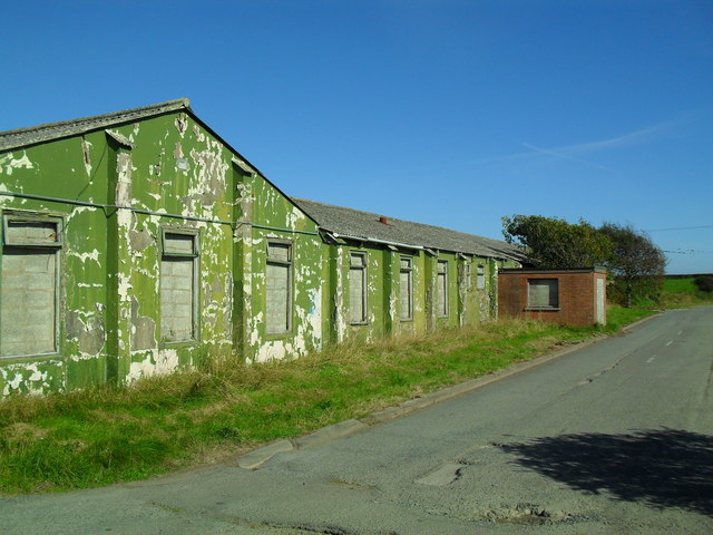
Image: © Dean Molyneaux Taken: 13 Sep 2009
I'm not sure what this was, but it was likely something to do with the former RAF base at Bishopscourt.
Images are licensed for reuse under creativecommons.org/licenses/by-sa/2.0
Image Location
Latitude
54.299799
Longitude
-5.559107