The Lag
Introduction
The photograph on this page of The Lag by Simon Carey as part of the Geograph project.
The Geograph project started in 2005 with the aim of publishing, organising and preserving representative images for every square kilometre of Great Britain, Ireland and the Isle of Man.

There are currently over 7.5m images from over 14,400 individuals and you can help contribute to the project by visiting https://www.geograph.org.uk
The Lag
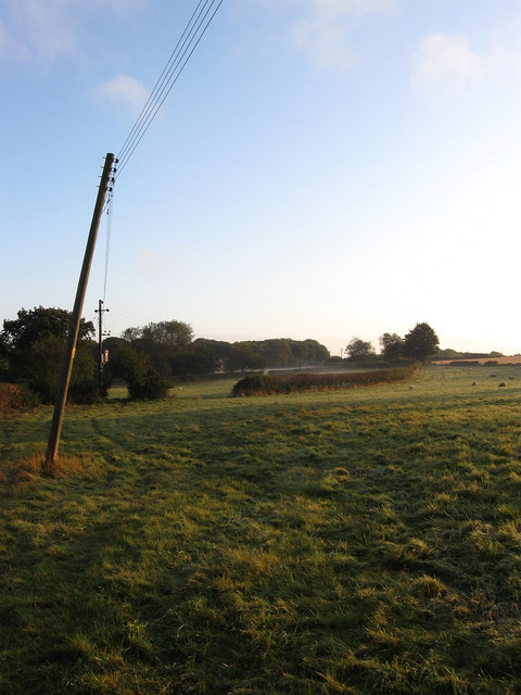
Image: © Simon Carey Taken: 13 Sep 2009
The name of the field according to the 1842 tithe map. A little ground mist can be seen in the distance but had gone by the time I had walked to that end of the field. Taken from a permissive footpath that runs along the western side of the field parallel to the B2116.
Images are licensed for reuse under creativecommons.org/licenses/by-sa/2.0
Image Location
Latitude
50.909771
Longitude
-0.097098