Burial plot
Introduction
The photograph on this page of Burial plot by Thomas Nugent as part of the Geograph project.
The Geograph project started in 2005 with the aim of publishing, organising and preserving representative images for every square kilometre of Great Britain, Ireland and the Isle of Man.

There are currently over 7.5m images from over 14,400 individuals and you can help contribute to the project by visiting https://www.geograph.org.uk
Burial plot
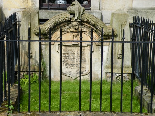
Image: © Thomas Nugent Taken: 22 Aug 2009
In the Graveyard of St Andrew's By The Green on Greendyke Street. See also Image The surname on the stone is obscured, but appears to be "Richard Curtis", a musical instrument maker, who died in 1889.
Images are licensed for reuse under creativecommons.org/licenses/by-sa/2.0
Image Location
Latitude
55.8541
Longitude
-4.243958