Bothenhampton: west along Main Street
Introduction
The photograph on this page of Bothenhampton: west along Main Street by Chris Downer as part of the Geograph project.
The Geograph project started in 2005 with the aim of publishing, organising and preserving representative images for every square kilometre of Great Britain, Ireland and the Isle of Man.

There are currently over 7.5m images from over 14,400 individuals and you can help contribute to the project by visiting https://www.geograph.org.uk
Bothenhampton: west along Main Street
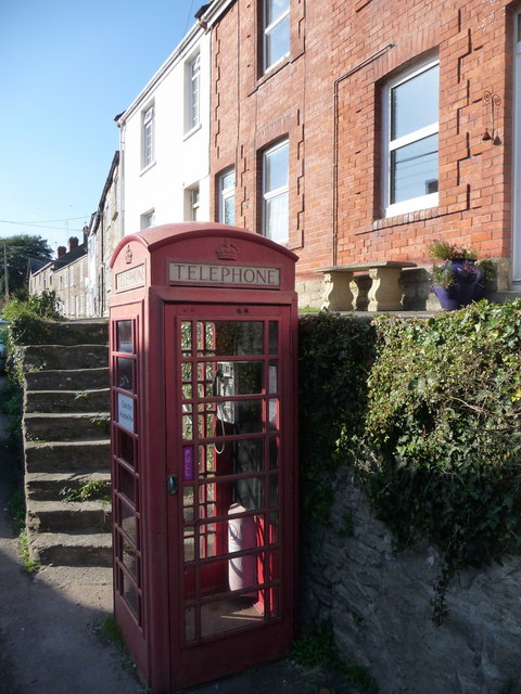
Image: © Chris Downer Taken: 12 Sep 2009
The main carriageway is out of picture to the right, while we look past the telephone box and up the steps to the Main Street pavement.
Images are licensed for reuse under creativecommons.org/licenses/by-sa/2.0
Image Location
Latitude
50.724033
Longitude
-2.750656