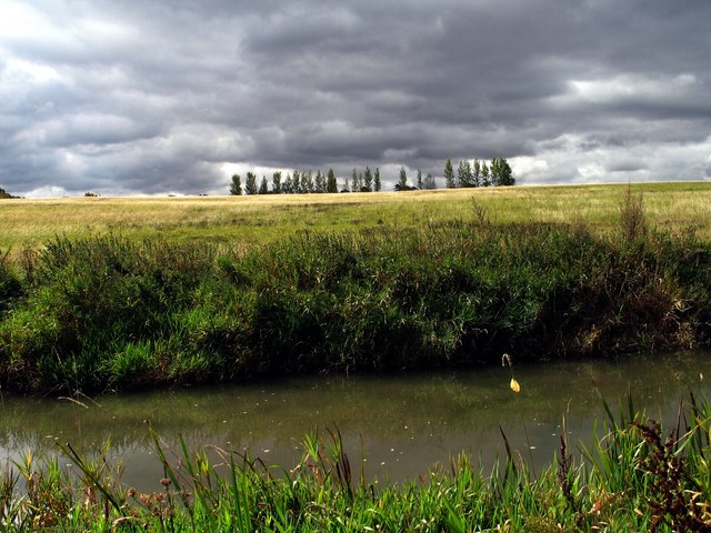
Wendover Arm at Tring Wharf
Introduction
The photograph on this page of Wendover Arm at Tring Wharf by Gerald Massey as part of the Geograph project.
The Geograph project started in 2005 with the aim of publishing, organising and preserving representative images for every square kilometre of Great Britain, Ireland and the Isle of Man.
There are currently over 7.5m images from over 14,400 individuals and you can help contribute to the project by visiting https://www.geograph.org.uk

Image: © Gerald Massey Taken: 13 Sep 2009
Completed in 1797, the Wendover Arm links the Grand Union Canal at Bulborne to Wendover. Due to persistent and severe leakage, the Arm was closed to navigation beyond Little Tring in 1897. The aim of the Wendover Arm Trust is to restore the Arm to full navigation, and to that end they have re-opened a short section beyond Little Tring; another isolated section adjacent to the A41 has also been restored. This photograph was taken from the towpath of the flooded section of the Canal at Tring Wharf. The view, grabbed during a fleeting burst of sunshine, is towards Icknield Way, just below the skyline (rumour has it that this meadow is to built on).

