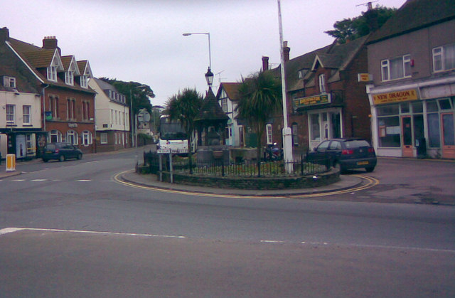
The well in the village square, looking east-northeast
Introduction
The photograph on this page of The well in the village square, looking east-northeast by Robert Lamb as part of the Geograph project.
The Geograph project started in 2005 with the aim of publishing, organising and preserving representative images for every square kilometre of Great Britain, Ireland and the Isle of Man.
There are currently over 7.5m images from over 14,400 individuals and you can help contribute to the project by visiting https://www.geograph.org.uk

Image: © Robert Lamb Taken: 8 Jun 2008
Here is an alternative view of the well in Birchington village square, taken looking east-northeast in the direction of Margate from Canterbury Road (A28). Three roads meet here - Station Road ends just out of shot to the left after passing through Birchington village centre, Canterbury Road comes from behind me and cuts across the image and around the corner by the well and heads towards Margate, whilst Park Lane from Manston Airport ends just to my right. The road junction is at the bottom edge of square TR3069.

