Pollard Park Evangelical Church, Heap Lane
Introduction
The photograph on this page of Pollard Park Evangelical Church, Heap Lane by Stephen Armstrong as part of the Geograph project.
The Geograph project started in 2005 with the aim of publishing, organising and preserving representative images for every square kilometre of Great Britain, Ireland and the Isle of Man.

There are currently over 7.5m images from over 14,400 individuals and you can help contribute to the project by visiting https://www.geograph.org.uk
Pollard Park Evangelical Church, Heap Lane
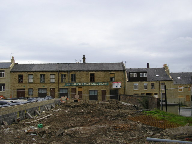
Image: © Stephen Armstrong Taken: 6 Sep 2009
A view which, up to a few months ago, (when they demolished Cumberland House), hadn't been possible since the mid 1960s. Taken from Otley Road.
Images are licensed for reuse under creativecommons.org/licenses/by-sa/2.0
Image Location
Latitude
53.797531
Longitude
-1.742786