Coo Lane
Introduction
The photograph on this page of Coo Lane by Kenneth Mallard as part of the Geograph project.
The Geograph project started in 2005 with the aim of publishing, organising and preserving representative images for every square kilometre of Great Britain, Ireland and the Isle of Man.

There are currently over 7.5m images from over 14,400 individuals and you can help contribute to the project by visiting https://www.geograph.org.uk
Coo Lane
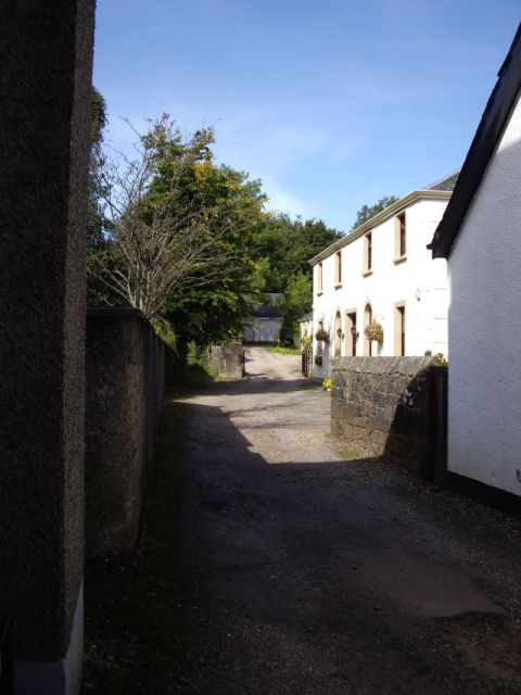
Image: © Kenneth Mallard Taken: 12 Sep 2009
Coo Lane leads off Polnoon Street http://www.geograph.org.uk/photo/1450275 near Mid Road. The lane originally led to the fields behind Polnoon Street. The building on the right (mid-photo) was once a United Presbyterian Church before the congregation moved to a new building in Montgomery Street. Click on these links to discover about the churches and Covenanters http://www.geograph.org.uk/photo/1424798 http://www.geograph.org.uk/photo/1897780 http://www.geograph.org.uk/photo/1432415 .
Images are licensed for reuse under creativecommons.org/licenses/by-sa/2.0
Image Location
Latitude
55.740604
Longitude
-4.277266