Gilmour Street
Introduction
The photograph on this page of Gilmour Street by Kenneth Mallard as part of the Geograph project.
The Geograph project started in 2005 with the aim of publishing, organising and preserving representative images for every square kilometre of Great Britain, Ireland and the Isle of Man.

There are currently over 7.5m images from over 14,400 individuals and you can help contribute to the project by visiting https://www.geograph.org.uk
Gilmour Street
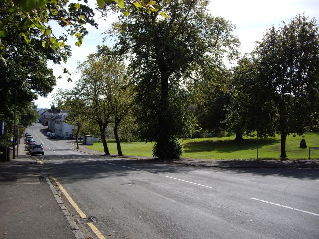
Image: © Kenneth Mallard Taken: 12 Sep 2009
This view looks along Gilmour Street to the crossroads. A corn mill once stood on the Orry http://www.geograph.org.uk/photo/1477760 where the white brick-built bus shelter can be seen in the distance. The Eaglesham Bi-centenary memorial stone http://www.geograph.org.uk/photo/1424812 is located behind the tree on the right-hand side foreground. Links to other views of Gilmour Street http://www.geograph.org.uk/photo/1484257 http://www.geograph.org.uk/photo/1450255 http://www.geograph.org.uk/photo/1484253 .
Images are licensed for reuse under creativecommons.org/licenses/by-sa/2.0
Image Location
Latitude
55.740579
Longitude
-4.273759