Magheraconluce Road, Annahilt
Introduction
The photograph on this page of Magheraconluce Road, Annahilt by Dean Molyneaux as part of the Geograph project.
The Geograph project started in 2005 with the aim of publishing, organising and preserving representative images for every square kilometre of Great Britain, Ireland and the Isle of Man.

There are currently over 7.5m images from over 14,400 individuals and you can help contribute to the project by visiting https://www.geograph.org.uk
Magheraconluce Road, Annahilt
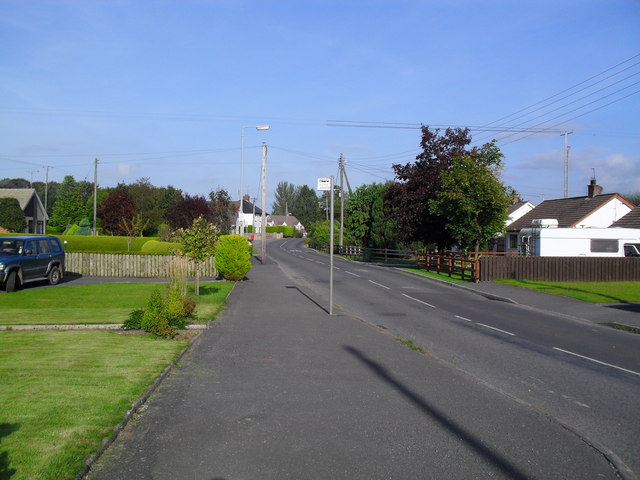
Image: © Dean Molyneaux Taken: 11 Sep 2009
I've never been sure whether you can call this Annahilt or not - it's like an annexe to the larger part of the village (Ballycrune), although about 1/3 mile to the south.
Images are licensed for reuse under creativecommons.org/licenses/by-sa/2.0
Image Location
Latitude
54.426765
Longitude
-6.009107