Meir Heath milepost in its setting
Introduction
The photograph on this page of Meir Heath milepost in its setting by Richard Law as part of the Geograph project.
The Geograph project started in 2005 with the aim of publishing, organising and preserving representative images for every square kilometre of Great Britain, Ireland and the Isle of Man.

There are currently over 7.5m images from over 14,400 individuals and you can help contribute to the project by visiting https://www.geograph.org.uk
Meir Heath milepost in its setting
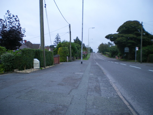
Image: © Richard Law Taken: 8 Sep 2009
Oddly, despite being in Meir Heath, this one has the name 'Normacot' on it (see Image), which is about 1.5 miles away to the northwest. Makes you wonder if it's been moved at some time in the past.
Images are licensed for reuse under creativecommons.org/licenses/by-sa/2.0
Image Location
Latitude
52.963527
Longitude
-2.106853