Scotsmans Flash
Introduction
The photograph on this page of Scotsmans Flash by Gary Rogers as part of the Geograph project.
The Geograph project started in 2005 with the aim of publishing, organising and preserving representative images for every square kilometre of Great Britain, Ireland and the Isle of Man.

There are currently over 7.5m images from over 14,400 individuals and you can help contribute to the project by visiting https://www.geograph.org.uk
Scotsmans Flash
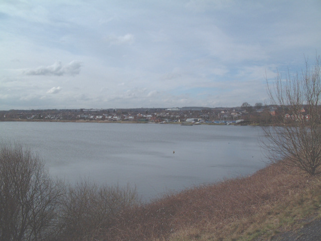
Image: © Gary Rogers Taken: Unknown
The result of flooding old mine workings in the area is a pleasant recreational lake used by a yachting club and many walkers. The remainder of the square is occupied by large residential areas and a very busy main road into the nearby town of Wigan. The picture was taken looking roughly southwest from the path that follows the disused and dismantled railway line on the northern edge of the square.
Images are licensed for reuse under creativecommons.org/licenses/by-sa/2.0
Image Location


Leaflet Map data © OpenStreetMap
Latitude
53.526433
Longitude
-2.642565