Whiddon Valley Woods, Barnstaple
Introduction
The photograph on this page of Whiddon Valley Woods, Barnstaple by Barrie Cann as part of the Geograph project.
The Geograph project started in 2005 with the aim of publishing, organising and preserving representative images for every square kilometre of Great Britain, Ireland and the Isle of Man.

There are currently over 7.5m images from over 14,400 individuals and you can help contribute to the project by visiting https://www.geograph.org.uk
Whiddon Valley Woods, Barnstaple
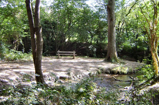
Image: © Barrie Cann Taken: 11 Sep 2009
A small clearing in the woods, where you can watch the squirrels running through the trees. The stream is called Coney Gut and runs the whole length of this woodland. The wood is owned by Devon County Council, and was formerly known as Maidenford Woods until 1990. Just a few yards beyond the trees in the background, is a whole housing estate. For further information, see the South West Forest web-site at www.southwestforest.org.uk/community-woodland/pdfs/Whiddon-Valley.pdf
Images are licensed for reuse under creativecommons.org/licenses/by-sa/2.0
Image Location
Latitude
51.07658
Longitude
-4.026415