Tapps Garden Centre
Introduction
The photograph on this page of Tapps Garden Centre by Mike W Hallett as part of the Geograph project.
The Geograph project started in 2005 with the aim of publishing, organising and preserving representative images for every square kilometre of Great Britain, Ireland and the Isle of Man.

There are currently over 7.5m images from over 14,400 individuals and you can help contribute to the project by visiting https://www.geograph.org.uk
Tapps Garden Centre
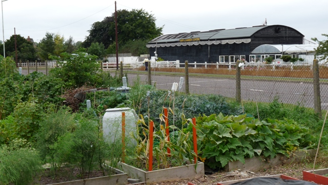
Image: © Mike W Hallett Taken: 8 Sep 2009
Viewed from the allotments on the opposite side of the Wallington Road, this is Tapps Garden Centre. Since the construction of the Baldock by-pass has severed the Wallington Road, the garden centre can only be reached from the A507.
Images are licensed for reuse under creativecommons.org/licenses/by-sa/2.0
Image Location
Latitude
51.987543
Longitude
-0.176856