Public Right of Way to Fowgill Lane
Introduction
The photograph on this page of Public Right of Way to Fowgill Lane by Mick Garratt as part of the Geograph project.
The Geograph project started in 2005 with the aim of publishing, organising and preserving representative images for every square kilometre of Great Britain, Ireland and the Isle of Man.

There are currently over 7.5m images from over 14,400 individuals and you can help contribute to the project by visiting https://www.geograph.org.uk
Public Right of Way to Fowgill Lane
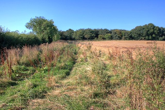
Image: © Mick Garratt Taken: 10 Sep 2009
Looking along the hedgeline and Public Footpath. At about 20m (before the small tree) is the location of my previous photo of Trenholme Farm taken in 2006, almost three years previously to the day. See Image
Images are licensed for reuse under creativecommons.org/licenses/by-sa/2.0
Image Location


Leaflet Map data © OpenStreetMap
Latitude
54.412653
Longitude
-1.310917