A wintry view from The Lawn park
Introduction
The photograph on this page of A wintry view from The Lawn park by P L Chadwick as part of the Geograph project.
The Geograph project started in 2005 with the aim of publishing, organising and preserving representative images for every square kilometre of Great Britain, Ireland and the Isle of Man.

There are currently over 7.5m images from over 14,400 individuals and you can help contribute to the project by visiting https://www.geograph.org.uk
A wintry view from The Lawn park
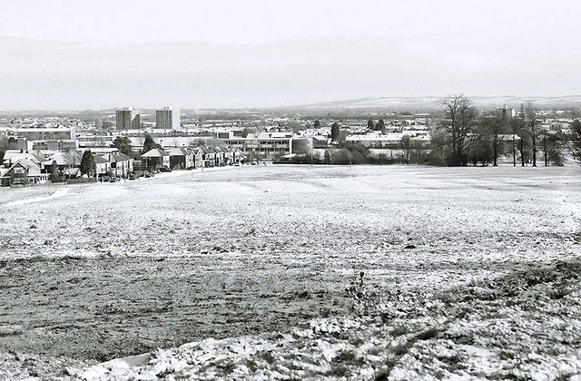
Image: © P L Chadwick Taken: Unknown
This view is across part of The Lawn public park. In the distance on the left is Old or West Walcot. The tower blocks in the far distance are on the Park North housing estate. Image
Images are licensed for reuse under creativecommons.org/licenses/by-sa/2.0
Image Location


Leaflet Map data © OpenStreetMap
Latitude
51.553126
Longitude
-1.766877