Yeoman Drive, Gillingham
Introduction
The photograph on this page of Yeoman Drive, Gillingham by Chris Whippet as part of the Geograph project.
The Geograph project started in 2005 with the aim of publishing, organising and preserving representative images for every square kilometre of Great Britain, Ireland and the Isle of Man.

There are currently over 7.5m images from over 14,400 individuals and you can help contribute to the project by visiting https://www.geograph.org.uk
Yeoman Drive, Gillingham
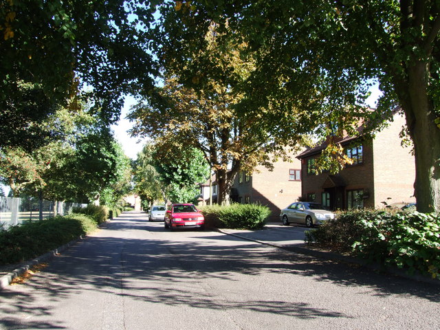
Image: © Chris Whippet Taken: 8 Sep 2009
Formerly Roopkee Road, this housing estate was built in the mid 1980s on the site of Gordon Barracks.
Images are licensed for reuse under creativecommons.org/licenses/by-sa/2.0
Image Location
Latitude
51.367555
Longitude
0.565747