Moor Road
Introduction
The photograph on this page of Moor Road by Kenneth Mallard as part of the Geograph project.
The Geograph project started in 2005 with the aim of publishing, organising and preserving representative images for every square kilometre of Great Britain, Ireland and the Isle of Man.

There are currently over 7.5m images from over 14,400 individuals and you can help contribute to the project by visiting https://www.geograph.org.uk
Moor Road
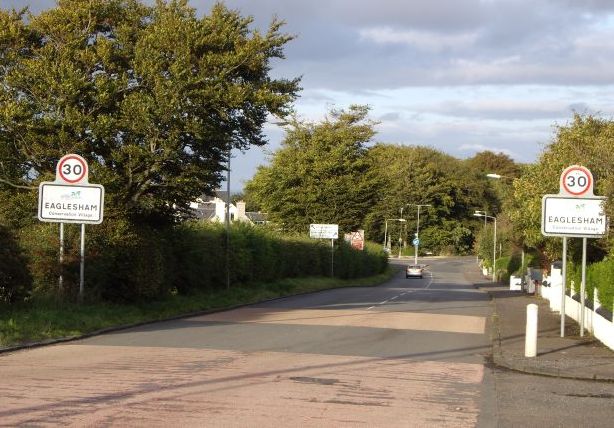
Image: © Kenneth Mallard Taken: 9 Sep 2009
Moor Road looking towards Townhead at the convergence of Polnoon Street http://www.geograph.org.uk/photo/1480585 and Montgomery Street http://www.geograph.org.uk/photo/1484234 . The houses on the right were built in the 1920s. Construction work commenced in 2012 to build a residential housing development comprising of 121 houses in the field on the left.
Images are licensed for reuse under creativecommons.org/licenses/by-sa/2.0
Image Location
Latitude
55.736524
Longitude
-4.284037