Castlehill
Introduction
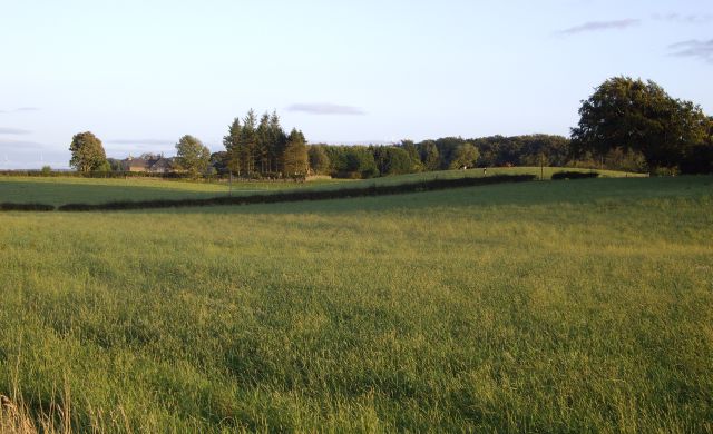
The photograph on this page of Castlehill by Kenneth Mallard as part of the Geograph project.
The Geograph project started in 2005 with the aim of publishing, organising and preserving representative images for every square kilometre of Great Britain, Ireland and the Isle of Man.
There are currently over 7.5m images from over 14,400 individuals and you can help contribute to the project by visiting https://www.geograph.org.uk

Image: © Kenneth Mallard Taken: 9 Sep 2009
A semi natural knoll, 70m in diameter at the base and 3m high, bearing evidence of modification as a motte near Castlehill Farm was identified in 1978. However recent investigations undertaken in 2007 suggest it is entirely natural and there is no evidence that its top or sides have been modified to form a motte. Other motte sites associated with the Montgomeries can be found at Polnoon Castle http://www.geograph.org.uk/photo/1480519 and at Motte Hill http://www.geograph.org.uk/photo/1450316 .

