Tidal reach of the Lliedi estuary - with wreck
Introduction
The photograph on this page of Tidal reach of the Lliedi estuary - with wreck by Ruth Sharville as part of the Geograph project.
The Geograph project started in 2005 with the aim of publishing, organising and preserving representative images for every square kilometre of Great Britain, Ireland and the Isle of Man.

There are currently over 7.5m images from over 14,400 individuals and you can help contribute to the project by visiting https://www.geograph.org.uk
Tidal reach of the Lliedi estuary - with wreck
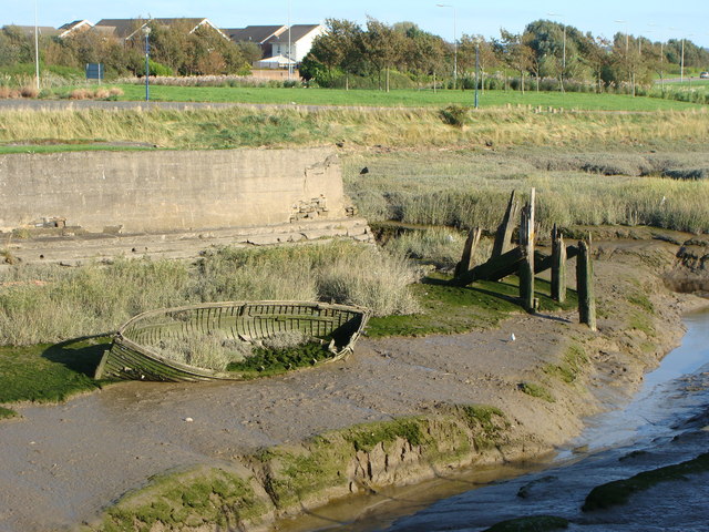
Image: © Ruth Sharville Taken: 9 Sep 2009
The picture shows the point where the river channel (behind the wall) meets the outflow from the old North Dock (foreground).
Images are licensed for reuse under creativecommons.org/licenses/by-sa/2.0
Image Location
Latitude
51.67344
Longitude
-4.172131