Chimneypots at Berwick-on-Tweed, from the Town Wall
Introduction
The photograph on this page of Chimneypots at Berwick-on-Tweed, from the Town Wall by Gerald Massey as part of the Geograph project.
The Geograph project started in 2005 with the aim of publishing, organising and preserving representative images for every square kilometre of Great Britain, Ireland and the Isle of Man.

There are currently over 7.5m images from over 14,400 individuals and you can help contribute to the project by visiting https://www.geograph.org.uk
Chimneypots at Berwick-on-Tweed, from the Town Wall
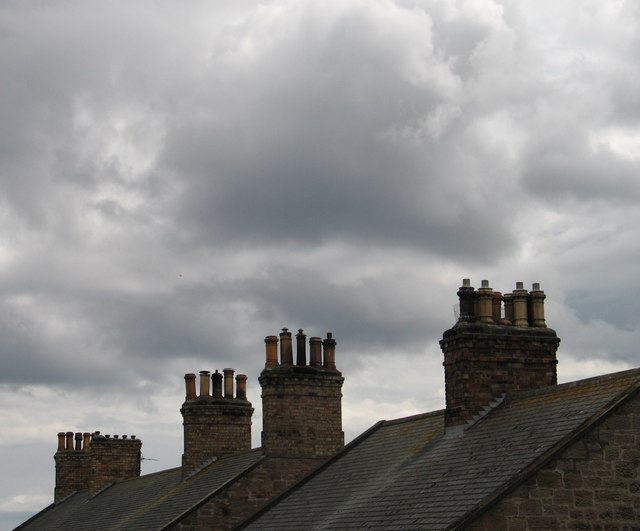
Image: © Gerald Massey Taken: 9 Aug 2009
This row of chimneys looked so forlorn against the threatening sky.
Images are licensed for reuse under creativecommons.org/licenses/by-sa/2.0
Image Location


Leaflet Map data © OpenStreetMap
Latitude
55.767283
Longitude
-1.99854