Pembroke Cottage & Pembroke House Inn
Introduction
The photograph on this page of Pembroke Cottage & Pembroke House Inn by Peter Whatley as part of the Geograph project.
The Geograph project started in 2005 with the aim of publishing, organising and preserving representative images for every square kilometre of Great Britain, Ireland and the Isle of Man.

There are currently over 7.5m images from over 14,400 individuals and you can help contribute to the project by visiting https://www.geograph.org.uk
Pembroke Cottage & Pembroke House Inn
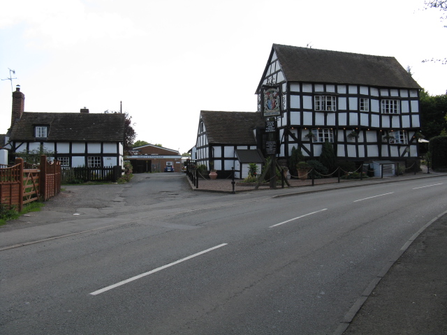
Image: © Peter Whatley Taken: 9 Sep 2009
Between the two venerable buildings is an access road to Tenbury Wells Primary School, this latter just being visible in the distance.
Images are licensed for reuse under creativecommons.org/licenses/by-sa/2.0
Image Location
Latitude
52.30744
Longitude
-2.59587