B8009 towards Portnalong
Introduction
The photograph on this page of B8009 towards Portnalong by Richard Dorrell as part of the Geograph project.
The Geograph project started in 2005 with the aim of publishing, organising and preserving representative images for every square kilometre of Great Britain, Ireland and the Isle of Man.

There are currently over 7.5m images from over 14,400 individuals and you can help contribute to the project by visiting https://www.geograph.org.uk
B8009 towards Portnalong
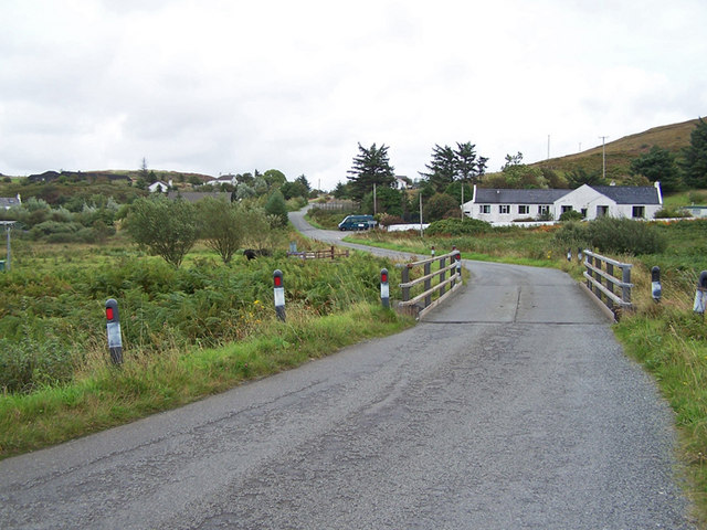
Image: © Richard Dorrell Taken: 7 Sep 2009
Looking east. The bridge in the foreground crosses Ardtreck Burn. The building on the right is a former chapel and manse, now a private residence.
Images are licensed for reuse under creativecommons.org/licenses/by-sa/2.0
Image Location
Latitude
57.323978
Longitude
-6.409081