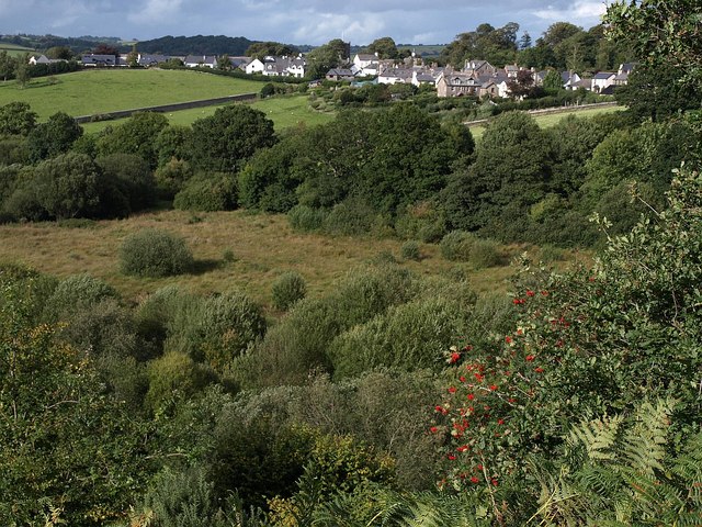
Padley Common
Introduction
The photograph on this page of Padley Common by Derek Harper as part of the Geograph project.
The Geograph project started in 2005 with the aim of publishing, organising and preserving representative images for every square kilometre of Great Britain, Ireland and the Isle of Man.
There are currently over 7.5m images from over 14,400 individuals and you can help contribute to the project by visiting https://www.geograph.org.uk

Image: © Derek Harper Taken: 3 Sep 2009
Seen from a path descending Meldon Hill. "Padley Common is a 13 hectare area of land owned by the parish council and forms part of Chagford Commons. It is an area of purple moor grass and rush pasture and provides important habitats for many species, including the marsh fritilliary butterfly, the reed bunting and woodcock and is grazed by cattle and Dartmoor ponies." http://www.gov-news.org/gov/uk/news/natural_england_supports_community_action/52318.html Above, beside Chagford Open Field (see Image), is housing on New Street, Chagford.

