Chilwell conservation area
Introduction
The photograph on this page of Chilwell conservation area by Alan Murray-Rust as part of the Geograph project.
The Geograph project started in 2005 with the aim of publishing, organising and preserving representative images for every square kilometre of Great Britain, Ireland and the Isle of Man.

There are currently over 7.5m images from over 14,400 individuals and you can help contribute to the project by visiting https://www.geograph.org.uk
Chilwell conservation area
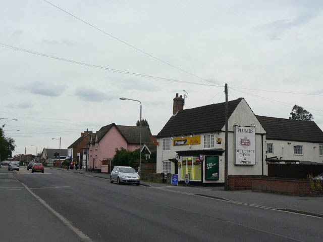
Image: © Alan Murray-Rust Taken: 6 Sep 2009
These houses on High Road are some of the older buildings in the area. The white building sits right on the grid intersection; the frontage is in Image, the near gable end in Image, the rear wing in Image, and the far gable with chimney in Image
Images are licensed for reuse under creativecommons.org/licenses/by-sa/2.0
Image Location
Latitude
52.918911
Longitude
-1.228216