Rape crop north of Ashby
Introduction
The photograph on this page of Rape crop north of Ashby by Trevor Rickard as part of the Geograph project.
The Geograph project started in 2005 with the aim of publishing, organising and preserving representative images for every square kilometre of Great Britain, Ireland and the Isle of Man.

There are currently over 7.5m images from over 14,400 individuals and you can help contribute to the project by visiting https://www.geograph.org.uk
Rape crop north of Ashby
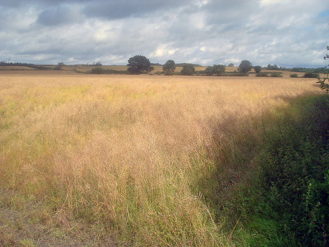
Image: © Trevor Rickard Taken: 15 Aug 2009
Looking north from the public footpath. Most of the fields on this hillside seem to be rape or wheat. This field is very ripe and about to be harvested in late August, given a few dry days. http://www.ukagriculture.com/crops/oil_seed_rape.cfm
Images are licensed for reuse under creativecommons.org/licenses/by-sa/2.0
Image Location
Latitude
52.755142
Longitude
-1.459887