Mallards Road
Introduction
The photograph on this page of Mallards Road by Footprints as part of the Geograph project.
The Geograph project started in 2005 with the aim of publishing, organising and preserving representative images for every square kilometre of Great Britain, Ireland and the Isle of Man.

There are currently over 7.5m images from over 14,400 individuals and you can help contribute to the project by visiting https://www.geograph.org.uk
Mallards Road
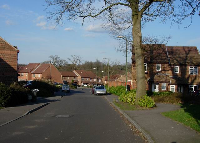
Image: © Footprints Taken: 6 Apr 2006
Close to Mallard Moor. Always amuses (and saddens) me when new developments are named after features they are built on.
Images are licensed for reuse under creativecommons.org/licenses/by-sa/2.0
Image Location
Latitude
50.883029
Longitude
-1.323309