Bramcote Park
Introduction
The photograph on this page of Bramcote Park by Alan Murray-Rust as part of the Geograph project.
The Geograph project started in 2005 with the aim of publishing, organising and preserving representative images for every square kilometre of Great Britain, Ireland and the Isle of Man.

There are currently over 7.5m images from over 14,400 individuals and you can help contribute to the project by visiting https://www.geograph.org.uk
Bramcote Park
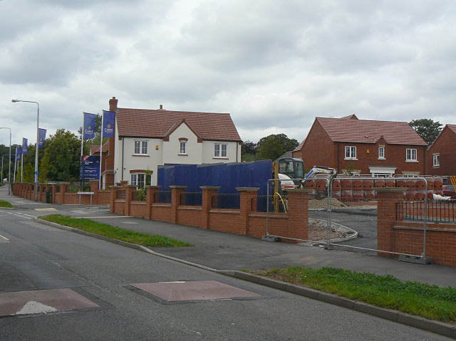
Image: © Alan Murray-Rust Taken: 6 Sep 2009
New housing on what was formerly paddocks. The road leads to an NHS psychiatric unit.
Images are licensed for reuse under creativecommons.org/licenses/by-sa/2.0
Image Location
Latitude
52.926988
Longitude
-1.240122