The Ivanhoe Way
Introduction
The photograph on this page of The Ivanhoe Way by Trevor Rickard as part of the Geograph project.
The Geograph project started in 2005 with the aim of publishing, organising and preserving representative images for every square kilometre of Great Britain, Ireland and the Isle of Man.

There are currently over 7.5m images from over 14,400 individuals and you can help contribute to the project by visiting https://www.geograph.org.uk
The Ivanhoe Way
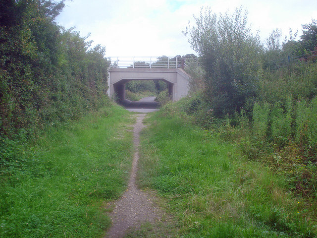
Image: © Trevor Rickard Taken: 15 Aug 2009
Heading north-east out of Ashby and under the A511. The Ivanhoe Way is a 35 mile circular walk around north Leicestershire, celebrating Sir Walter Scott's 1820 novel 'Ivanhoe'. Scott chose Ashby de la Zouch castle and the surrounding countryside as one of the settings used in the book, having got to know the area whilst staying at nearby Coleorton Hall. http://www.leics.gov.uk/index/environment/countryside/walking/ivanhoeway.htm
Images are licensed for reuse under creativecommons.org/licenses/by-sa/2.0
Image Location
Latitude
52.756739
Longitude
-1.455274