The Coast Path
Introduction
The photograph on this page of The Coast Path by Tony Atkin as part of the Geograph project.
The Geograph project started in 2005 with the aim of publishing, organising and preserving representative images for every square kilometre of Great Britain, Ireland and the Isle of Man.

There are currently over 7.5m images from over 14,400 individuals and you can help contribute to the project by visiting https://www.geograph.org.uk
The Coast Path
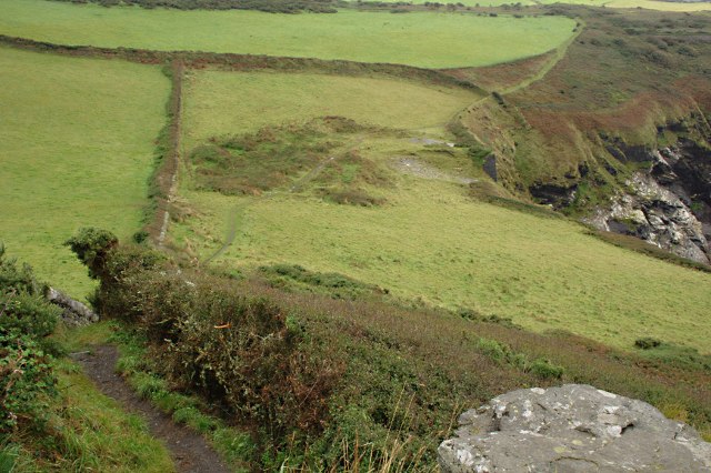
Image: © Tony Atkin Taken: 7 Sep 2009
Looking down a steep descent into what is, for this part of the coast, a quite shallow valley.
Images are licensed for reuse under creativecommons.org/licenses/by-sa/2.0
Image Location
Latitude
50.685531
Longitude
-4.704515