Kingsland Bridge seen from Murivance
Introduction
The photograph on this page of Kingsland Bridge seen from Murivance by Roy Haworth as part of the Geograph project.
The Geograph project started in 2005 with the aim of publishing, organising and preserving representative images for every square kilometre of Great Britain, Ireland and the Isle of Man.

There are currently over 7.5m images from over 14,400 individuals and you can help contribute to the project by visiting https://www.geograph.org.uk
Kingsland Bridge seen from Murivance
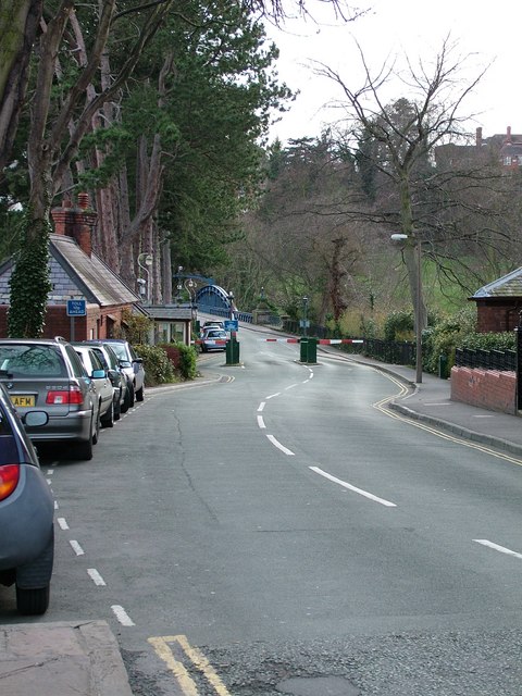
Image: © Roy Haworth Taken: 23 Mar 2008
The toll is 10p for vehicles and there is still a box for pedestrians to contribute a penny, but I don't think many do!
Images are licensed for reuse under creativecommons.org/licenses/by-sa/2.0
Image Location
Latitude
52.70486
Longitude
-2.758298