Alexandrina Plantation
Introduction
The photograph on this page of Alexandrina Plantation by Alan Murray-Rust as part of the Geograph project.
The Geograph project started in 2005 with the aim of publishing, organising and preserving representative images for every square kilometre of Great Britain, Ireland and the Isle of Man.

There are currently over 7.5m images from over 14,400 individuals and you can help contribute to the project by visiting https://www.geograph.org.uk
Alexandrina Plantation
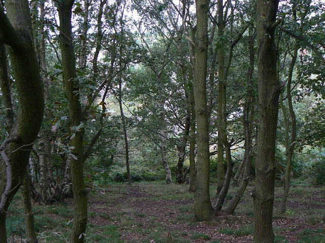
Image: © Alan Murray-Rust Taken: 6 Sep 2009
On the north scarp of Bramcote Hills, a sandstone outcrop which has avoided being built over due to the steep slope here. The woodland cover consists principally of oak and birch.
Images are licensed for reuse under creativecommons.org/licenses/by-sa/2.0
Image Location
Latitude
52.942485
Longitude
-1.231517