Old Milepost
Introduction
The photograph on this page of Old Milepost by Keith Evans as part of the Geograph project.
The Geograph project started in 2005 with the aim of publishing, organising and preserving representative images for every square kilometre of Great Britain, Ireland and the Isle of Man.

There are currently over 7.5m images from over 14,400 individuals and you can help contribute to the project by visiting https://www.geograph.org.uk
Old Milepost
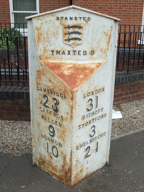
Image: © Keith Evans Taken: 7 Sep 2009
Old milepost at Stansted Mountfitchet, Essex on what was the old A11. For overall view see http://www.geograph.org.uk/photo/1477893 For more info see http://milestones.megalithia.com/sites/tl510251.htm do look at their home page.
Images are licensed for reuse under creativecommons.org/licenses/by-sa/2.0
Image Location


Leaflet Map data © OpenStreetMap
Latitude
51.903633
Longitude
0.19291