Cerrig-y-gof seen from the road
Introduction
The photograph on this page of Cerrig-y-gof seen from the road by Natasha Ceridwen de Chroustchoff as part of the Geograph project.
The Geograph project started in 2005 with the aim of publishing, organising and preserving representative images for every square kilometre of Great Britain, Ireland and the Isle of Man.

There are currently over 7.5m images from over 14,400 individuals and you can help contribute to the project by visiting https://www.geograph.org.uk
Cerrig-y-gof seen from the road
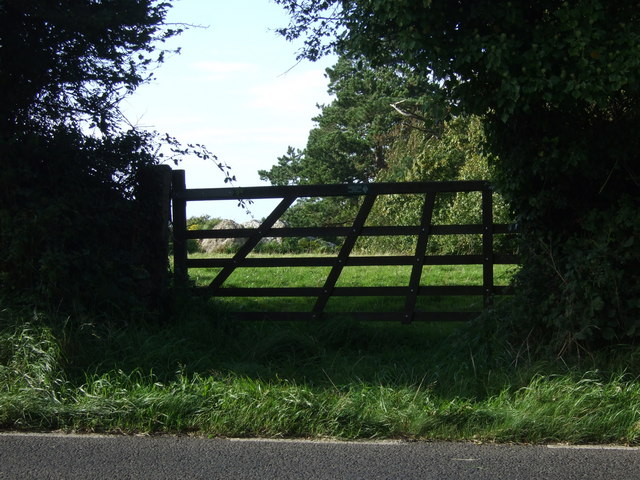
Image: © Natasha Ceridwen de Chroustchoff Taken: 4 Sep 2009
The site is on private land but access has been improved with a gate that can be opened instead of having to be climbed over.
Images are licensed for reuse under creativecommons.org/licenses/by-sa/2.0
Image Location


Leaflet Map data © OpenStreetMap
Latitude
52.013863
Longitude
-4.863219