Largely disused Section of a Bridleway
Introduction
The photograph on this page of Largely disused Section of a Bridleway by Kokai as part of the Geograph project.
The Geograph project started in 2005 with the aim of publishing, organising and preserving representative images for every square kilometre of Great Britain, Ireland and the Isle of Man.

There are currently over 7.5m images from over 14,400 individuals and you can help contribute to the project by visiting https://www.geograph.org.uk
Largely disused Section of a Bridleway
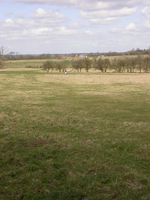
Image: © Kokai Taken: 4 Apr 2006
View north. Bridleway should run south-east from here as far as the A43 but is blocked off at this point. Rectory Farm, over in the next square, can be seen in the distance.
Images are licensed for reuse under creativecommons.org/licenses/by-sa/2.0
Image Location
Latitude
52.320305
Longitude
-0.810113