Waste ground at Polberro
Introduction
The photograph on this page of Waste ground at Polberro by Rod Allday as part of the Geograph project.
The Geograph project started in 2005 with the aim of publishing, organising and preserving representative images for every square kilometre of Great Britain, Ireland and the Isle of Man.

There are currently over 7.5m images from over 14,400 individuals and you can help contribute to the project by visiting https://www.geograph.org.uk
Waste ground at Polberro
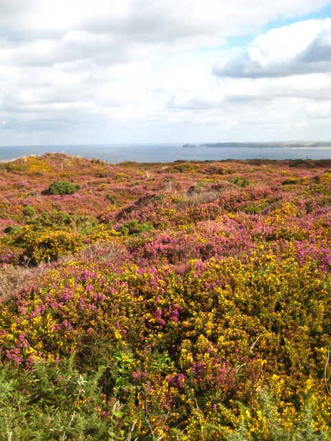
Image: © Rod Allday Taken: 6 Sep 2009
This area was part of Polberrow Mine so although it is shown on the map as publicly accessible caution needs to be exercised as there could be mine shafts hidden under the attractive carpet of gorse and heather. In the distance are Penhale Point and Gull Rocks Image
Images are licensed for reuse under creativecommons.org/licenses/by-sa/2.0
Image Location
Latitude
50.318031
Longitude
-5.214824